Peru’s national meteorological service has confirmed an El Niño pattern developing for the period September 2026 through April 2027. The forecast has implications for travellers planning Andean treks, coastal visits, and overland routes in northern Peru.
What El Niño Means for Peru
El Niño is a cyclical climate pattern that warms surface waters in the Pacific Ocean, altering rainfall patterns across South America. In Peru, its effects are roughly the inverse of a normal wet season: the northern coast and some Andean zones receive far above-average rainfall and face an elevated risk of flooding and landslides, while southern Peru can experience drought conditions.
The practical consequences for travellers include:
- Flooding and road closures in northern coastal departments (Piura, Tumbes, La Libertad), which have seen catastrophic flooding during previous El Niño events
- Landslides on Andean routes, including access roads to Cusco and surrounding valleys, though the extent will depend on rainfall intensity
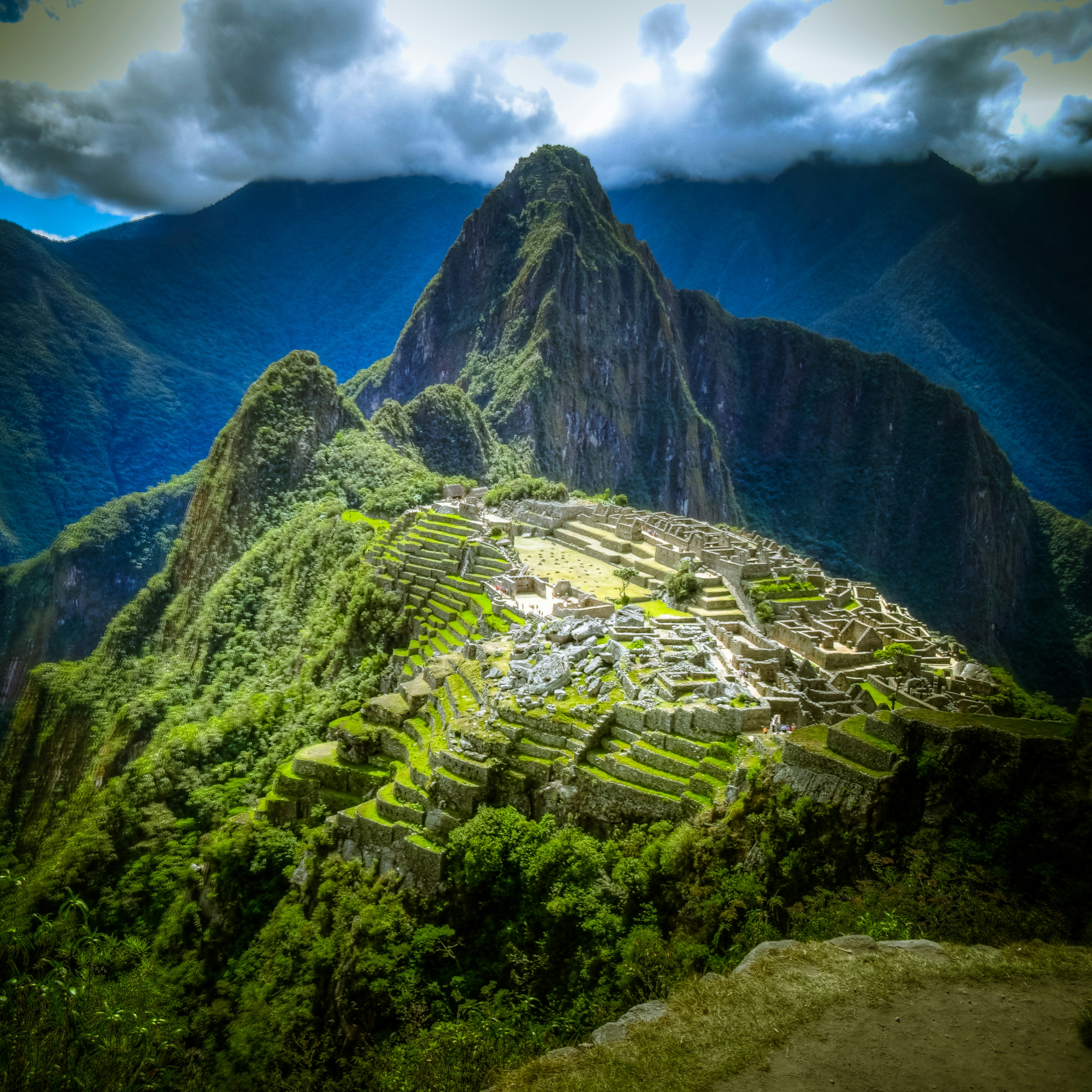
- Trail closures: The Inca Trail and other Andean trekking routes may face temporary closures after heavy rainfall, as the Ministry of Culture can close them at short notice for safety
Regions Most Affected
High risk: Northern coast (Piura, Tumbes) — these areas bear the brunt of El Niño flooding.
Moderate risk: Northern Andes, including Cajamarca and Huaraz. The Salkantay Trek and routes through the Cusco region may face conditions but should remain broadly operational with flexible planning.
Lower risk: Lima, the southern coast, and the Amazon lowlands tend to be less severely affected than the north in El Niño years.
Advice for Trekkers
Trekking bookings to Machu Picchu and the wider Cusco region are generally bookable, but travellers should:
- Purchase comprehensive travel insurance for Peru that covers cancellations due to weather and natural events
- Book with reputable operators who have clear cancellation and rescheduling policies
- Build flexibility into itineraries — a 1–2 day buffer around key treks is sensible
- Check trail status through the Peruvian Ministry of Culture website in the days before departure
Lima and the Southern Regions
Lima itself is unlikely to be severely impacted. The capital sits on a near-desert coast and El Niño events bring above-average humidity and occasional fog rather than catastrophic flooding. Arequipa, Lake Titicaca, and the Colca Canyon region have lower risk profiles.
For altitude sickness guidance (always relevant in the Andes), see our altitude sickness in Peru article.
Monitor Before You Travel
We recommend checking:
- Peru’s SENAMHI (national meteorology service) for rainfall forecasts
- The Machu Picchu trail status page via the Ministry of Culture
- Your foreign government’s travel advisory for updated safety warnings
Conditions can change quickly — an early El Niño event in October could mean disrupted conditions arriving earlier than forecast.